GeoTrack
Application

What is on this page?
Click to jump to a specific section below.
With our GeoTrack Application you can instantly view on a map where your data loggers in active missions are located around the world. Using Google Geocoding, we enable location view by converting addresses into geographical coordinates. Thus, if you select a specific logger in the application, we can display the detailed route of the shipment with its condition at any given point displayed. Thereby you can make an informed decision on any intervention needed, or preferably, let us do that work for you as part of our Intervention Service.
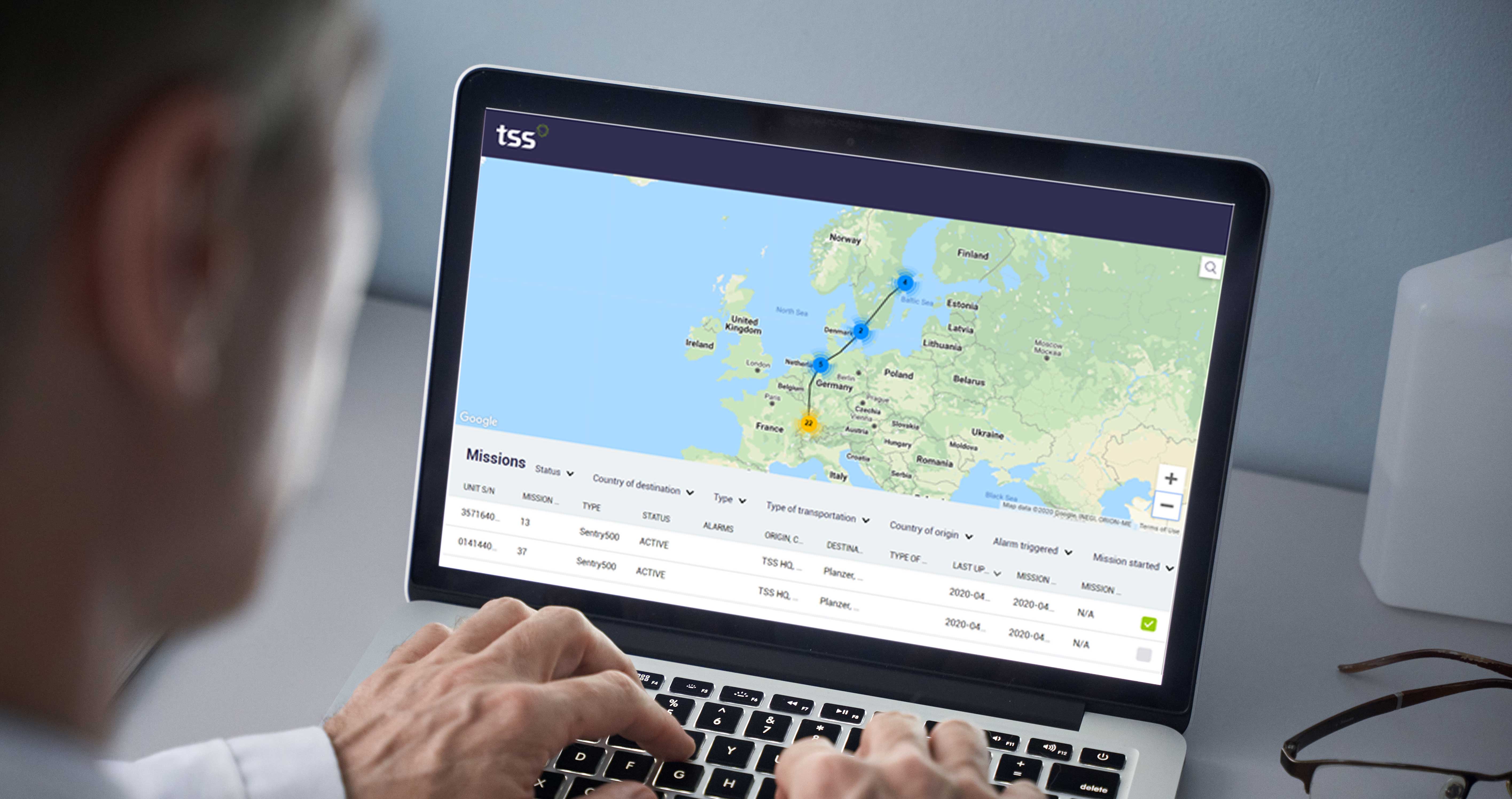
With the help of the GeoTrack application, any alarms triggered during your missions can be displayed on the map. Moreover, if one particular alarm occurs, the map can display it, e.g. temperature icon showing that the temperature threshold is exceeded at the given geo-location.

Our solutions

